

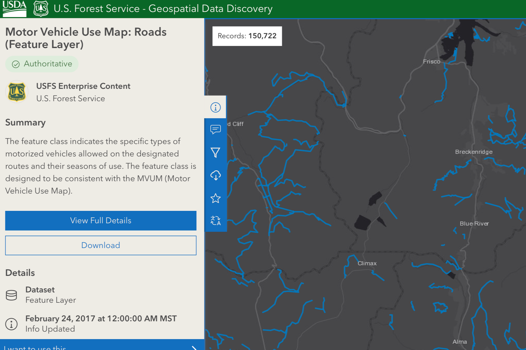
Interactive Mapping Interface:Displays detailed layers of forest roads, including classifications (e.g., paved, gravel, dirt, maintained vs. closed), conditions, and spatial relationships to surrounding terrain, forests, and resources.
Interactive Mapping Interface: